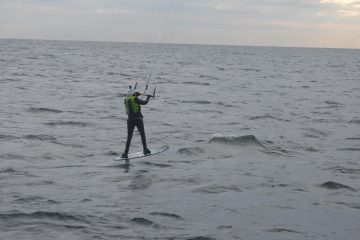
We’re estimating we’ll travel about 3,000 miles around the coast of Great Britain. But the official coastline is measured as 11,072.76 miles. Why the difference?
Shortest distance between two points is a straight line
We’re not following each and every bay, cove and river mouth. A good example of this would be when we crossed the Thames estuary. We crossed from Harwich, to North Foreland. However the Ordnance Survey measures the coastline at mean high water. The Thames is tidal up until Teddington, which is all the way up, past the city of London. The river narrows so much up there we wouldn’t be able to kite. Not only this, but the river traffic and wind shadows from all the tall buildings and bridges would make it impossible to kite.
An example of how much this would have cut off is given below. The blue line was Mentor’s actual track crossing the estuary from Harwich to Ramsgate – 54 miles. The green line I’ve followed the southern coastline as closely as possible, measuring 108 miles. And slightly less accurately the north coast in orange as 100 miles.
The Thames isn’t the only place we’ll be cutting out sections of coast like this. On our second day we crossed The Wash; coming up in June we’ll cross the Bristol Channel; and in Scotland there are no end to the number of lochs we won’t be able to explore.
Coastline Paradox
The second reason why our estimate is not exact is due to the Coastline Paradox. This has to do with what your minimal measure of accuracy is. Coastlines can be broken down into smaller and smaller pieces, it’s impractical to measure every pebble on each beach, but these smaller pieces still make up the coastline, and affect the distance. The coastline paradox says that there is always a smaller measurement that could be measured, and it is therefore impossible to calculate an exact number. To find out more on this see: https://en.wikipedia.org/wiki/Coastline_paradox
